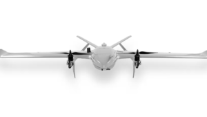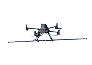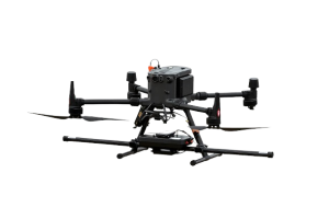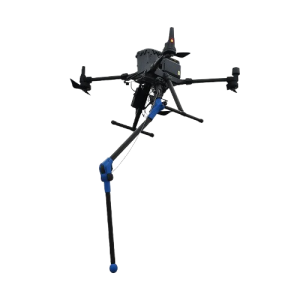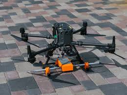
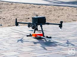
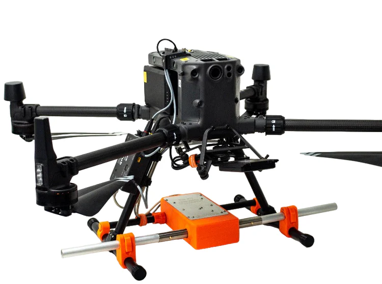
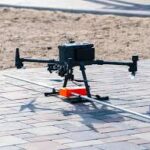
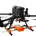
Zond Aero LF — Aerial Low-Frequency
- Extra light GPR system
- Suitable for medium-sized drones such as DJI M400/M300/M350 RTK.
Ready to start your project?
Contact us today for a free consultation and the best solution.
Description
Zond Aero LF is an airborne geophysical survey system based on low-frequency electromagnetic Designed to identify subsurface anomalies such as valuable minerals, geological structures, and buried mineralized zones. Mounted on a light aircraft or helicopter, the system enables the collection of geophysical data over a wide area with high efficiency and robust accuracy.
LF systems provide deeper field penetration than high-frequency systems, making them suitable for basic mineral detection and geological structure identification in complex subsurface anomaly separation. Low-frequency technology helps distinguish between geophysical targets and local disturbances.
SPECIFICATION
DOWNLOAD
Want to see more detailed specifications?
Download the full specifications PDF file via the link below.
General Questions
Zond Aero LF adalah sistem survei geofisika udara berbasis low-frequency electromagnetic (LF-EM) yang dirancang untuk mendeteksi anomali bawah permukaan dengan penetrasi yang lebih dalam dibandingkan sistem frekuensi tinggi.
Frekuensi rendah memiliki panjang gelombang lebih besar sehingga mampu:
-
Menembus lapisan tanah lebih dalam
-
Mengidentifikasi struktur geologi regional
-
Mendeteksi mineralisasi yang berada jauh di bawah permukaan
Hal ini sangat penting dalam eksplorasi mineral skala besar.
Penetration depth depends on soil conductivity and system configuration, but LF-EM is generally capable of reaching significant depths (deeper than high-frequency EM), especially in resistive environments.
Sistem ini dapat dipasang pada:
-
UAV or
-
Airborn platform
Konfigurasi disesuaikan dengan kebutuhan proyek dan luas area survei.
Zond Aero LF is widely used in: Mineral exploration (nickel, copper, gold, base metals) Regional geological mapping Subsurface structural studies Energy and natural resource exploration
Still unsure about choosing the right product?
Contact us today for a free consultation and the best solution.
Free Consultation