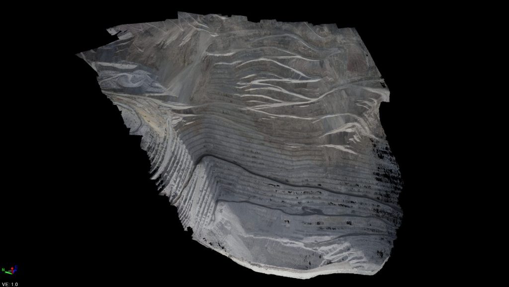
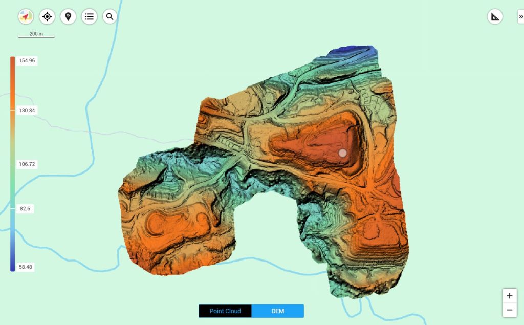
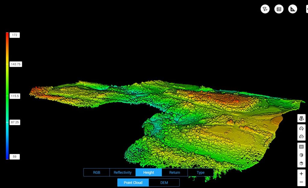
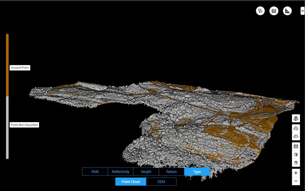
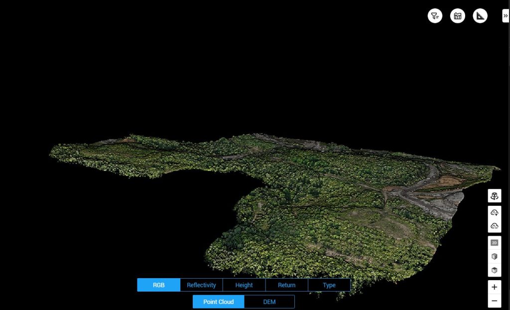
Mining
For the mining industry, we provide mining area mapping, excavation and stockpile volume measurements, and work area monitoring. Accurate survey data is crucial for resource management and mine operational planning.
With a structured approach, we help mining companies improve operational efficiency, workplace safety, and compliance with applicable regulations.
Mining Products
All Products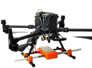
Zond Aero LF — Aerial Low-Frequency
Zond Aero LF is a low-frequency electromagnetic based airborne geophysical survey system designed to identify subsurface anomalies such as valuable minerals, geological structures, and buried mineralized zones...
More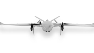
Drone VTOL Raybe
The RAYBE VTOL drone is designed for complex aerial mapping challenges in difficult terrain...
More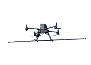
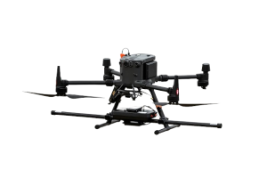
MagDrone R3
The MagDrone R3 is a drone-based airborne magnetometer system designed to perform high-resolution magnetic surveys in a variety of geospatial applications...
More