DJI Enterprise
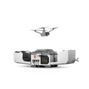
DJI Dock 3 (Drone In the Box)
Equipped with a high-performance Matrice 4D or Matrice 4TD drone, DJI Dock 3 enables 24/7 remote operation and, for the first time, supports vehicle-mounted mobile deployment, adapting easily to a variety of environments...
More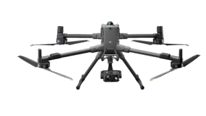
DJI Matrice 400
The DJI Matrice 400 is DJI's latest enterprise drone designed for industrial applications such as mapping, infrastructure inspection, construction, and security.
More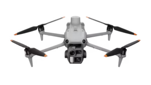
DJI Matrice 4 Enterprise
The DJI Matrice 4E is DJI's latest enterprise drone designed specifically for high-precision geospatial mapping and surveying...
More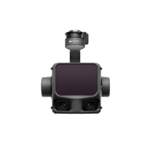
DJI Zenmuse L3
The DJI Zenmuse L3 is DJI's next-generation LiDAR (Light Detection and Ranging) payload designed for high-precision aerial mapping and geospatial surveying...
More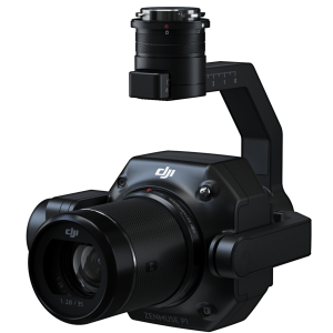
DJI Zenmuse P1
The DJI Zenmuse P1 is a full-frame photogrammetry camera payload designed for high-precision aerial mapping needs...
More
DJI Terra Post Processing Software
DJI Terra is a drone data processing software (photogrammetry & LiDAR) developed by DJI to convert aerial data into 2D maps, 3D models, and geospatial analysis quickly and accurately...
More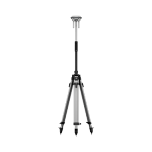
DJI D-RTK 3 Multifunctional Station
The DJI D-RTK 3 is a multi-function GNSS base station designed to provide high-precision (centimeter-level) positioning for DJI drones and extend communication range in field operations...
More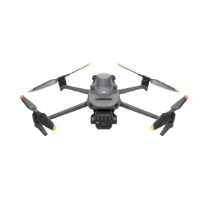
DJI Mavic 3 Multispectral
The DJI Mavic 3 Multispectral (Mavic 3M) is an enterprise drone designed specifically for precision agriculture and vegetation analysis based on multispectral data...
More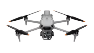
DJI Matrice 4 Thermal
A compact flagship drone equipped with 6 lenses and AI recognition that can detect humans, ships, vehicles, and other objects (customizable) to support various security, inspection, and search & rescue operations, both day and night...
More