


DJI Terra Post Processing Software
- Make the World Your Digital Asset
Ready to start your project?
Contact us today for a free consultation and the best solution.
Description
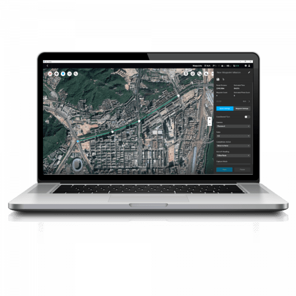
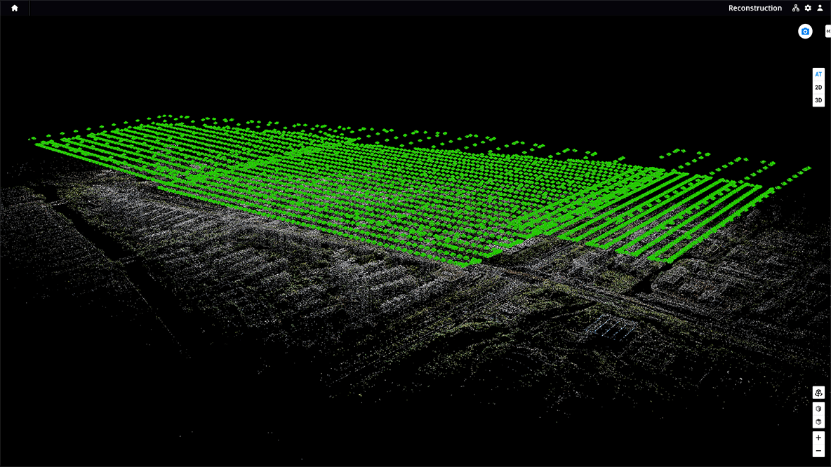
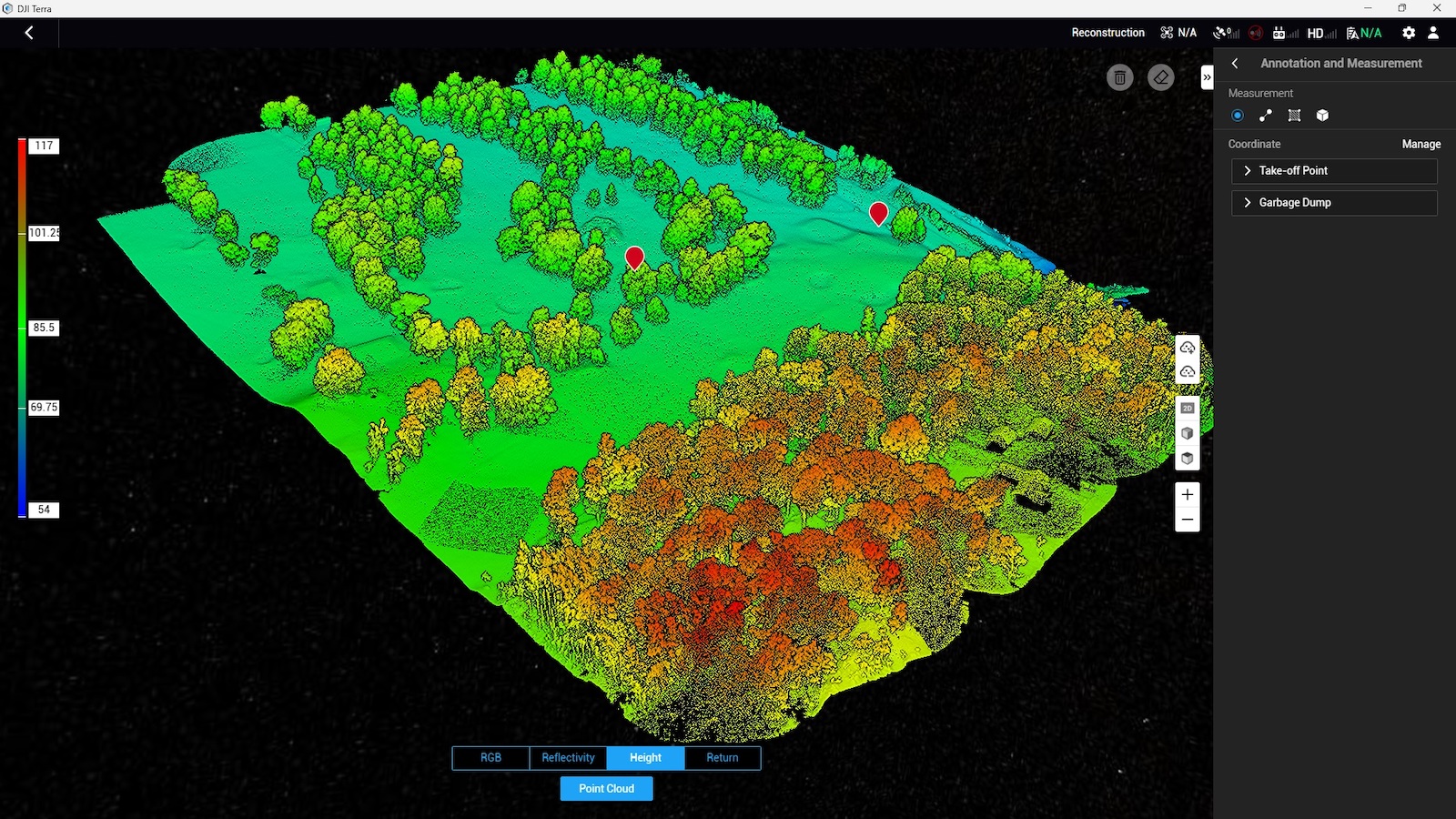
DJI Terra adalah software pengolahan data drone (photogrammetry & LiDAR) yang dikembangkan oleh DJI untuk mengubah data udara menjadi peta 2D, model 3D, dan analisis geospasial secara cepat dan akurat. Software ini dirancang untuk mendukung workflow dari perencanaan misi hingga hasil akhir (end-to-end mapping solution).
DJI Terra adalah solusi software mapping yang powerful untuk mengubah data drone menjadi informasi geospasial yang siap digunakan. Dengan kombinasi kemudahan penggunaan, kecepatan processing, dan integrasi DJI, software ini menjadi pilihan ideal untuk kebutuhan mapping modern.
SPECIFICATION
DOWNLOAD
Want to see more detailed specifications?
Download the full specifications PDF file via the link below.
General Questions
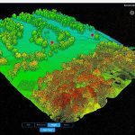
DJI Terra adalah software untuk mengubah data drone menjadi peta 2D, model 3D, dan data geospasial secara cepat dan akurat.
Digunakan untuk:
-
Pemetaan topografi
-
Monitoring progres proyek
-
Perhitungan volume (cut & fill / stockpile)
-
Survey tambang & konstruksi
-
Inspeksi infrastruktur
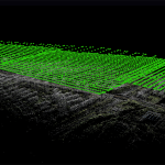
Ya, DJI Terra mendukung:
-
Photogrammetry (foto udara)
-
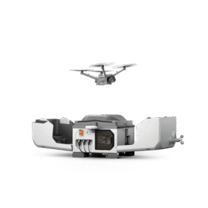
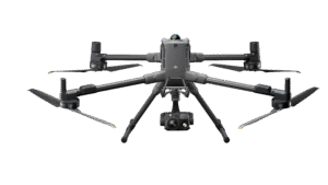
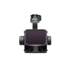
LiDAR (contoh dari DJI Zenmuse L3)
-
Orthomosaic
-
DSM & DTM
-
Point cloud (LAS/LAZ)
-
Model 3D
-
Kontur & volume
Tidak selalu.
Jika menggunakan RTK/PPK:
-
GCP bisa dikurangi
-
Tetap bisa mencapai akurasi tinggi
Still unsure about choosing the right product?
Contact us today for a free consultation and the best solution.
Free Consultation