
MagDrone R4 3.0
- Advanced magnetic drone
- Equipped with a stable navigation system
Ready to start your project?
Contact us today for a free consultation and the best solution.
Description
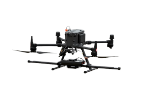
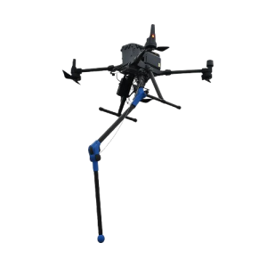
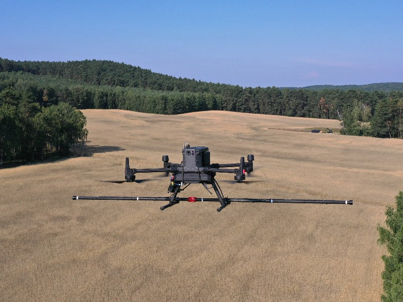
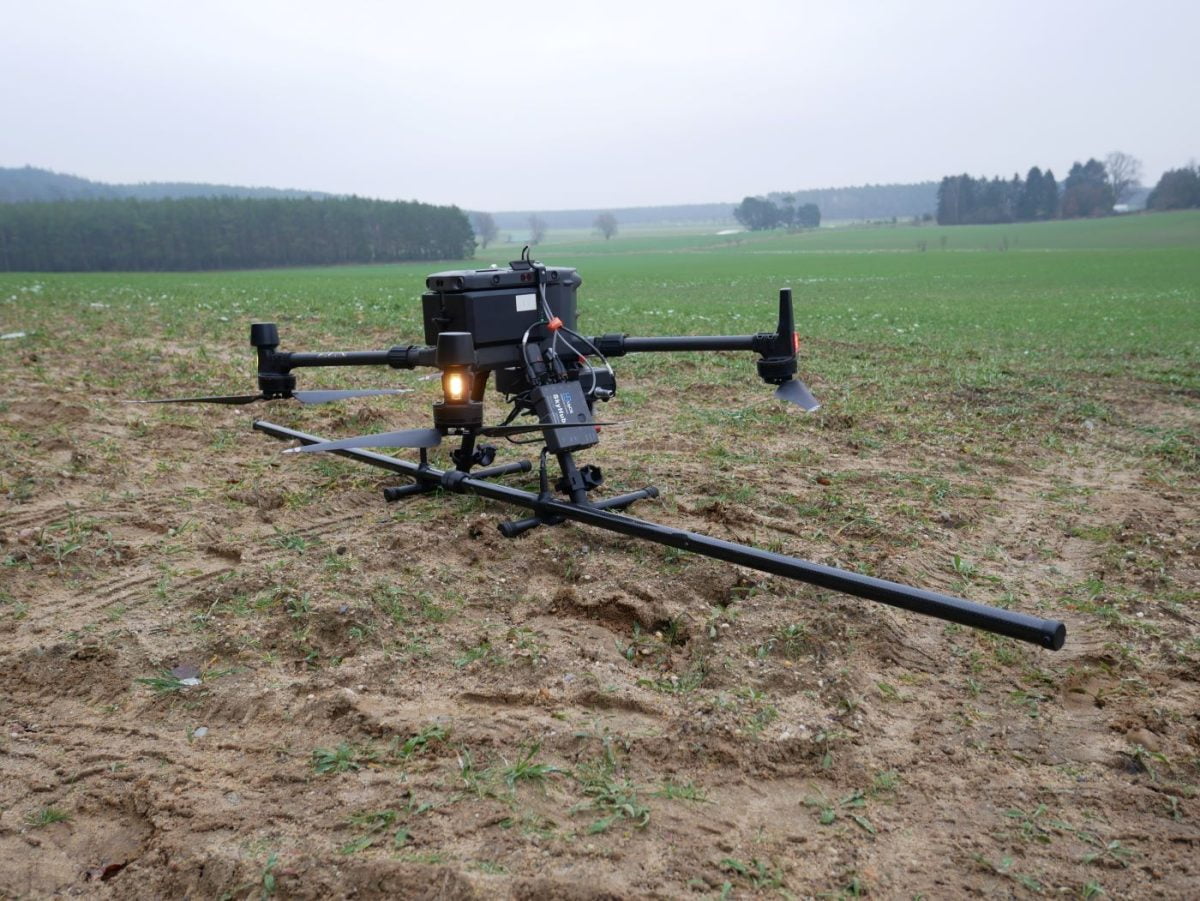
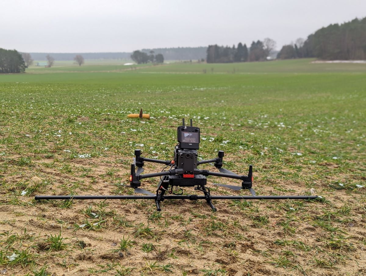
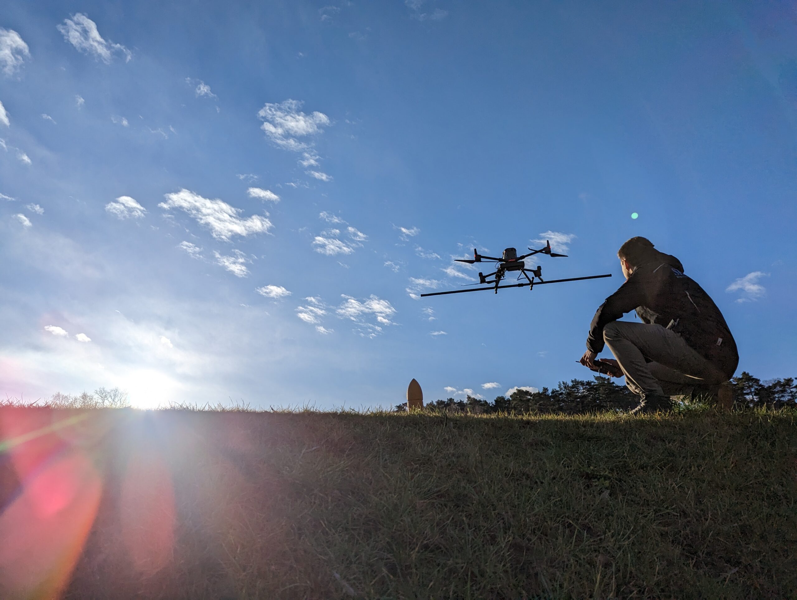
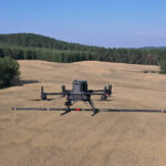
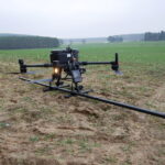
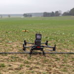
MagDrone R4 3.0 is a device magnetometer multifungsi ultra-portable designed for high-resolution aerial magnetic surveys using drones. This device is mounted under the drone to map the ground's magnetic field and detect ferrous objects under the surface, such as UXO (unexploded munitions), archaeological structures, or other large metal objects.
MagDrone R4 3.0 uses 5 sensor triaxial Fluxgate which is installed in parallel to measure magnetic fields in great detail, and produces rich geophysical data for mapping areas difficult to reach by ground surveys. This device is compatible with industrial drones such as DJI Matrice 300 RTK or DJI Matrice 350 RTK, with a minimum payload capacity of around 1.5–2 kg.
SPECIFICATION
DOWNLOAD
Want to see more detailed specifications?
Download the full specifications PDF file via the link below.
General Questions
MagDrone R4 3.0 is a system drone-based magnetometer which is used for high-resolution magnetic surveys to detect metal objects and magnetic field anomalies below the ground surface.
MagDrone R4 3.0 is commonly used for:
- Deteksi UXO (unexploded ordnance)
- Archaeological survey
- Geophysical exploration
- Underground pipe/metal detection
- Area security survey
Use 5 sensor triaxial fluxgate magnetometer, which is capable of recording 3D magnetic fields at high resolution.
No. Must use a drone with:
- Min. Payload ±2–3 kg
- High stability
- Generally compatible with enterprise drones such as:
- DJI Matrice 300 RTK
- DJI Matrice 350 RTK
- DJI Matrice 400 RTK
Still unsure about choosing the right product?
Contact us today for a free consultation and the best solution.
Free Consultation