trimble geospatial
Trimble SX12
Trimble is recognized as a leading brand in high-precision surveying and mapping technology. Trimble products are widely used for topography, construction, infrastructure, and monitoring, with a highly reliable level of accuracy.
We provide a variety of Trimble solutions such as GNSS, total stations, and integrated survey systems that support work productivity in the field.

High Accuracy For Precision Surveying Work
Large-Scale Construction and Infrastructure Projects
Complete Software and Hardware Ecosystem
Sensysmagnetometer
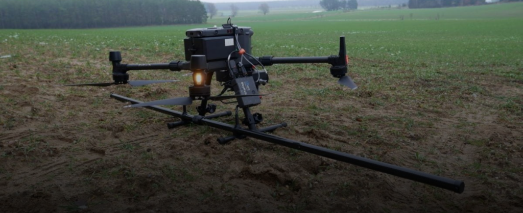
Magdrone R4
The MagDroneR4 is an ultra-portable magnetometer survey kit. It is designed for large-area surveys when ground surveys by humans or vehicles (UAVs) are no longer possible.
Unlike the R3, the MagDroneR4 is used for high-resolution mapping to detect small, dense objects and structures underground, such as bombs, ammunition, or settlement features from the past.
High Resolution Magnetic Data Acquisition
Efficient for surveying large areas and extreme terrain
Reducing the Risks and Costs of Field Surveys
DJI Enterprise
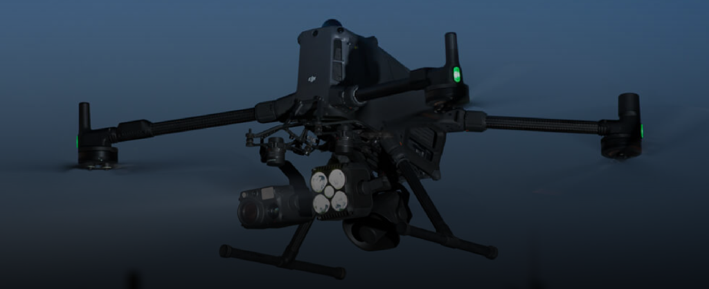
DJI Matrice 400
DJI Enterprise offers professional drone solutions for mapping, inspection, and area monitoring. These products are designed to deliver visual and spatial data quickly and efficiently.
DJI Enterprise drones are ideal for wide-area mapping, project monitoring, and data collection from hard-to-reach locations.
Fast and Efficient Data Retrieval
Drone Technology is Stable and Easy to Operate
High Quality Visual and Spatial Data
BETA
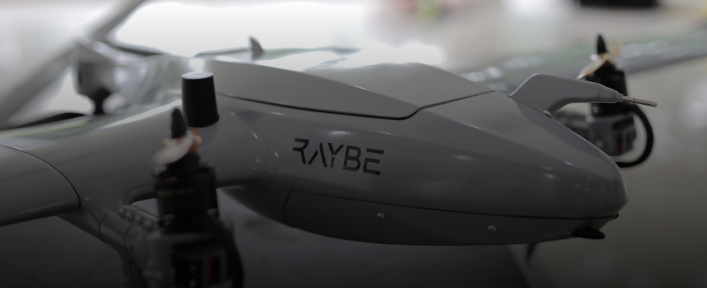
RAYBE
Beta Raybe is a brand that provides surveying and mapping solutions with a focus on efficiency, ease of use, and reliability in the field. Beta Raybe products are designed to support daily measurement work with stable and practical performance.
Beta Raybe products are suitable for various survey needs such as topography, construction, and basic mapping, especially for users who need effective solutions with competitive investment value.
Stable Performance For Daily Survey Work
Supporting Mobility and Work Efficiency
Economical Solutions With Reliable Quality
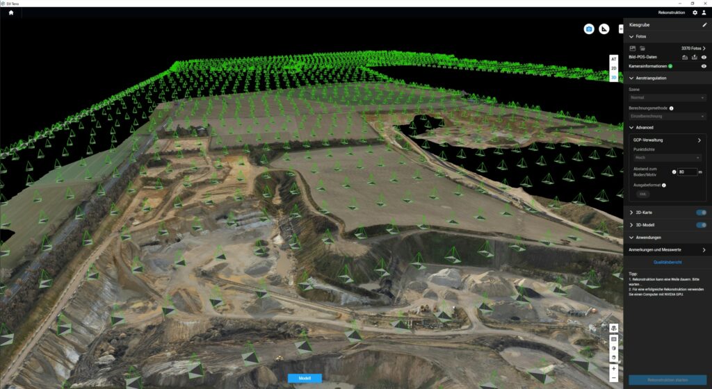
Software
Designed to support company operations across various industrial sectors, this software enables high-accuracy tracking of vehicles, heavy equipment, and mobile assets, equipped with automatic reporting features, activity notifications, performance analysis, and an intuitive monitoring dashboard.
With an integrated and easy-to-use system, GPS Lands Solutions helps improve operational efficiency, reduce the risk of asset misuse, and optimize overall business productivity.

AGISOFT
TERRASOLID
PIX4D