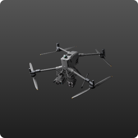
Photogrammetry is a mapping technique that converts high-resolution aerial photographs into precisely measured 2D spatial data and 3D models. We utilize drone photography technology to acquire imagery over large areas quickly, efficiently, and with sharp visual detail. The results can be orthophotos and photo maps of the situation.
Project
- Land boundary measurement
- Situation Map Measurement
- Scouting wellsite work