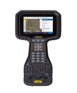


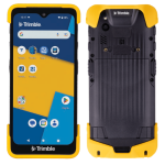
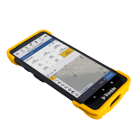
Trimble TDC6 Field Controller
- Advanced, rugged, ultra-lightweight
- Effortless flexibility
Ready to start your project?
Contact us today for a free consultation and the best solution.
Description
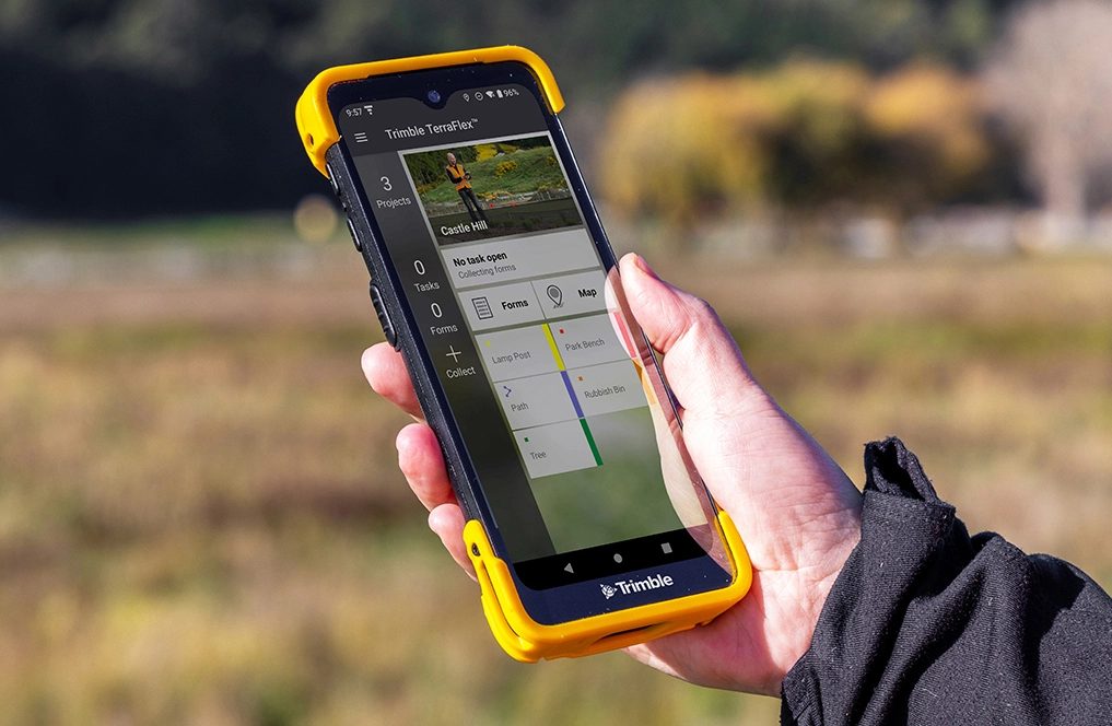
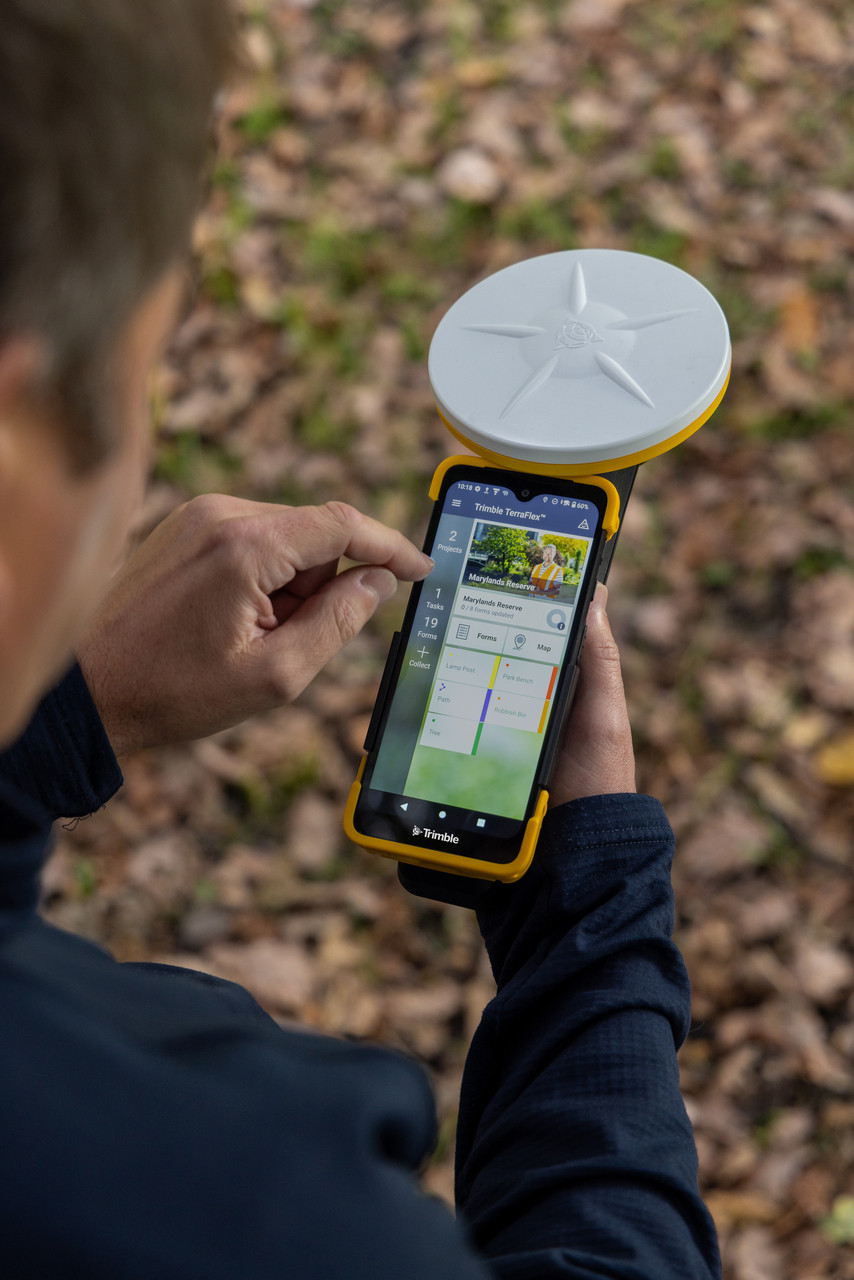
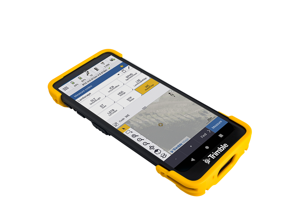
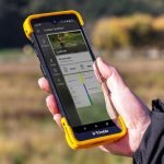
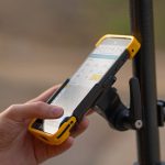
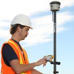
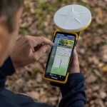
The Trimble TDC6 is a professional-grade, portable field data controller specifically designed for managing data capture in the field, including controlling survey instruments such as GNSS receivers and total stations. With an intuitive interface, powerful computing performance, and comprehensive connectivity, the TDC6 supports efficient and flexible surveying, mapping, and measurement control workflows.
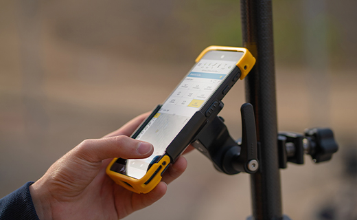
The Trimble TDC6 features a rugged and compact design, making it comfortable to carry and operate throughout the field. It's ideally sized for one-handed use or mounting on a survey pole.
SPECIFICATION
DOWNLOAD
Want to see more detailed specifications?
Download the full specifications PDF file via the link below.
General Questions
Trimble TDC6 adalah field controller portabel yang digunakan untuk mengontrol instrumen survei seperti GNSS receiver dan total station, serta untuk pengumpulan dan pengelolaan data lapangan menggunakan software seperti Trimble Access.
The Trimble TDC6 is a professional-grade, portable field data controller specifically designed for managing data capture in the field, including controlling survey instruments such as GNSS receivers and total stations. With an intuitive interface, powerful computing performance, and comprehensive connectivity, the TDC6 supports efficient and flexible surveying, mapping, and measurement control workflows.
Ya. Controller ini dapat digunakan untuk mengontrol total station Trimble dalam pekerjaan topografi, staking out, dan layout konstruksi.
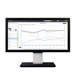
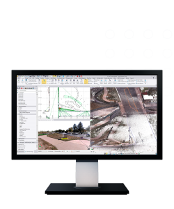
TDC6 mendukung aplikasi survei profesional seperti Trimble Access, yang umum digunakan untuk pengukuran GNSS, total station, monitoring, dan pekerjaan konstruksi.
Ya. TDC6 dirancang untuk penggunaan outdoor dengan desain rugged dan layar yang tetap terbaca di bawah sinar matahari, sehingga cocok untuk kondisi lapangan yang menantang.
TDC6 mendukung:
-
Bluetooth
-
Wi-Fi
-
USB / koneksi kabel data
Sehingga memudahkan komunikasi dengan instrumen maupun transfer data ke komputer atau cloud.
Still unsure about choosing the right product?
Contact us today for a free consultation and the best solution.
Free Consultation