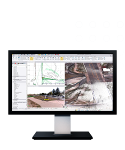


Trimble 4D Control Office software
- A complete solution
- Automation, efficiency & safety
Ready to start your project?
Contact us today for a free consultation and the best solution.
Description
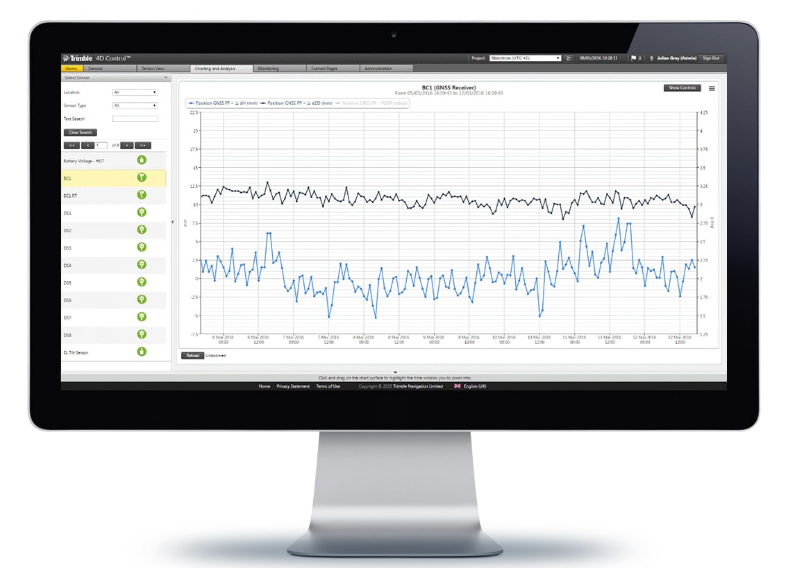
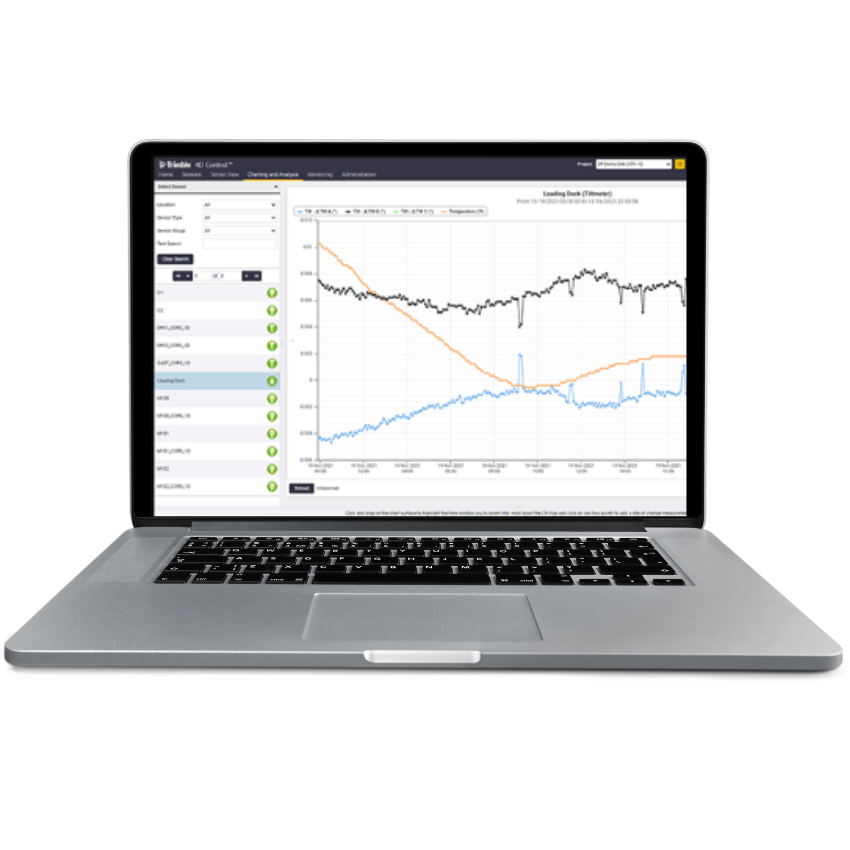
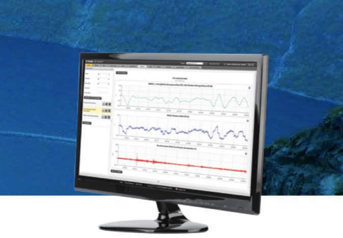
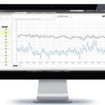
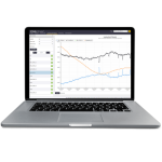
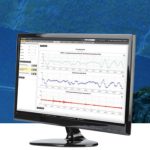
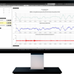
Trimble 4D Control is a software for monitoring deformation and structural movement designed for real-time or periodic automated monitoring of critical infrastructure and areas.
This software is used to detect changes in position (horizontal & vertical) over time — that's why it's called “4D” (3D position + time dimension).
SPECIFICATION
DOWNLOAD
Want to see more detailed specifications?
Download the full specifications PDF file via the link below.
General Questions
Trimble 4D Control adalah software monitoring deformasi otomatis yang digunakan untuk memantau pergerakan struktur atau area tertentu secara real-time maupun periodik dengan analisis berbasis waktu (time-series).
“4D” mengacu pada:
-
3D posisi (X, Y, Z)
- Dimensi waktu (Time)
-
Sehingga sistem dapat menganalisis perubahan posisi dari waktu ke waktu.
-
Trimble 4D Control dapat terhubung dengan:
-
GNSS monitoring station
-
Total station robotik
-
Tilt meter
-
Sensor cuaca
-
Sensor tambahan lainnya (melalui integrasi)
Ya. Sistem dapat:
-
Mengontrol total station robotik secara otomatis
-
Mengambil data secara terjadwal
-
Mengirim notifikasi jika terjadi pergerakan melebihi batas toleransi
Ya. Sistem memiliki:
-
Threshold setting (batas toleransi)
-
Email/SMS alert
-
Notifikasi otomatis saat terjadi anomali
-
Bendungan
-
Jembatan
-
Gedung tinggi
-
Lereng tambang
-
Terowongan
-
Rel & infrastruktur transportasi
Still unsure about choosing the right product?
Contact us today for a free consultation and the best solution.
Free Consultation