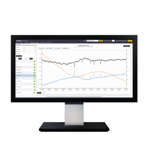


Trimble Business Center (TBC)
- Seamless experience for users who do both survey and construction work
- Easy to use with an interface that aligns with Trimble software
Ready to start your project?
Contact us today for a free consultation and the best solution.
Description
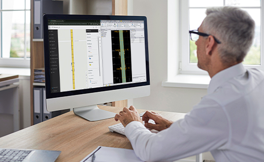
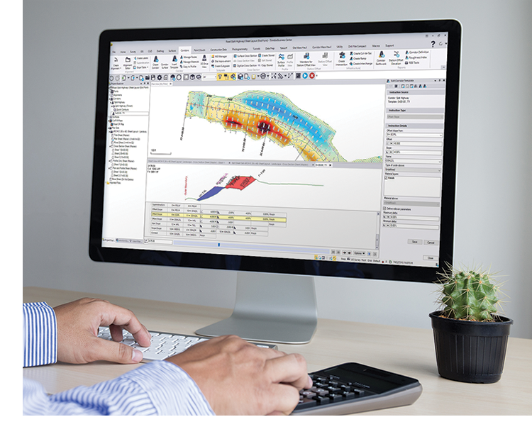
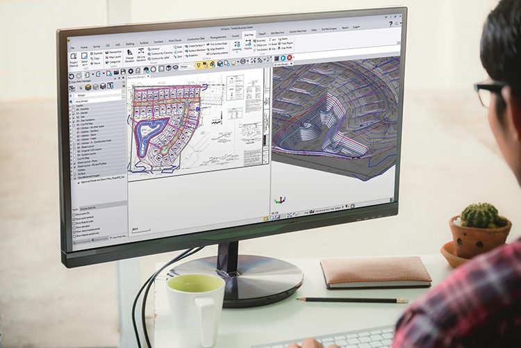
Trimble Business Center (TBC) is a survey and geospatial data processing software designed to integrate, process, analyze, and produce professional deliverables from various data sources—GNSS, total station, digital level, laser scanning, mobile mapping, and UAV.
TBC becomes the center of the field-to-finish workflow, connecting field data with CAD, GIS, and 3D model output for engineering and construction needs.
SPECIFICATION
DOWNLOAD
Want to see more detailed specifications?
Download the full specifications PDF file via the link below.
General Questions
Trimble Business Center adalah software pengolahan data survei dan geospasial untuk memproses, menganalisis, dan menghasilkan output profesional dari data GNSS, total station, digital level, laser scanning, dan UAV.
TBC mendukung:
-
Data GNSS (RTK & Static)
-
Total Station
-
Digital Level (misalnya dari Trimble DiNi)
-
Laser Scan (TLS & Mobile Mapping)
-
Foto UAV / Drone
-
Data CAD & GIS (DXF, DWG, SHP, LandXML, dll)
Ya. TBC mendukung Least Squares Adjustment untuk jaringan kontrol horizontal dan vertikal dengan laporan ketelitian lengkap.
Tidak. Walaupun optimal dengan perangkat Trimble, TBC juga dapat mengimpor data dari berbagai brand melalui format umum seperti RINEX, DXF, DWG, dan LAS.
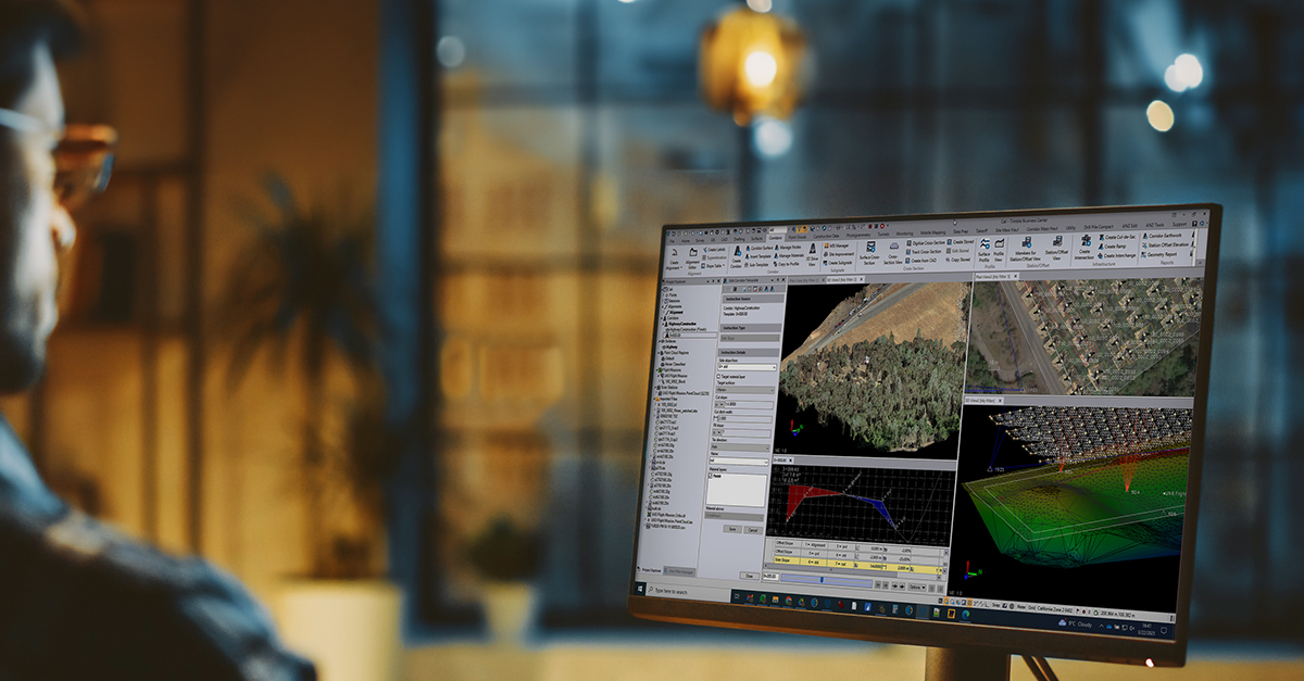
Ya. TBC memiliki modul photogrammetry untuk:
-
Orthomosaic
-
DSM/DTM
-
Point cloud
-
Volume calculation
Still unsure about choosing the right product?
Contact us today for a free consultation and the best solution.
Free Consultation