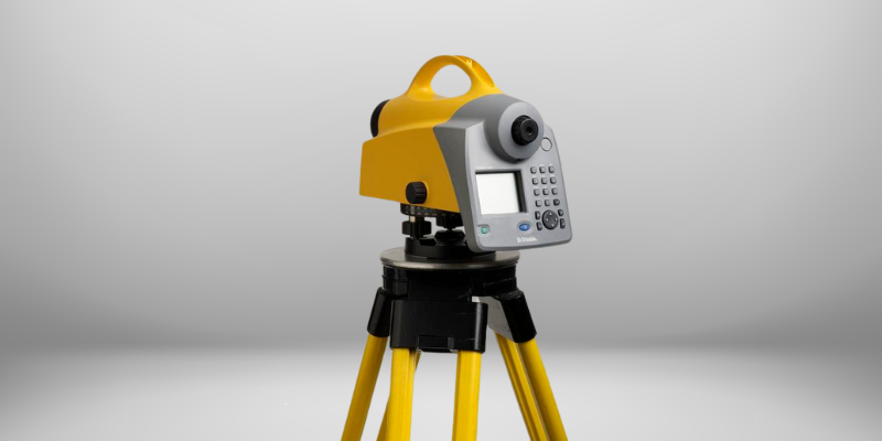
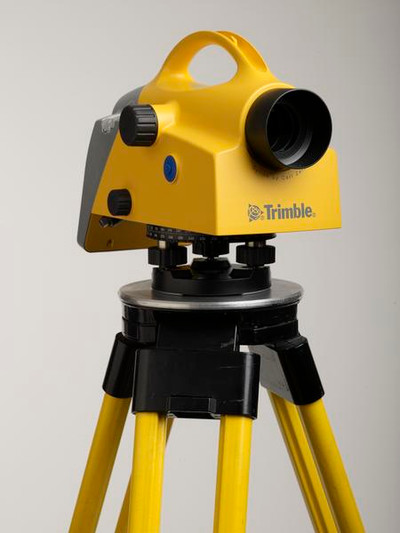
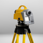
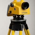
Trimble DiNi Digital Level
- Unequalled For Performance in The Field
- Easy to Learn, Easy to Use
- Trimble Quality and Accuracy for Measuring
Ready to start your project?
Contact us today for a free consultation and the best solution.
Description
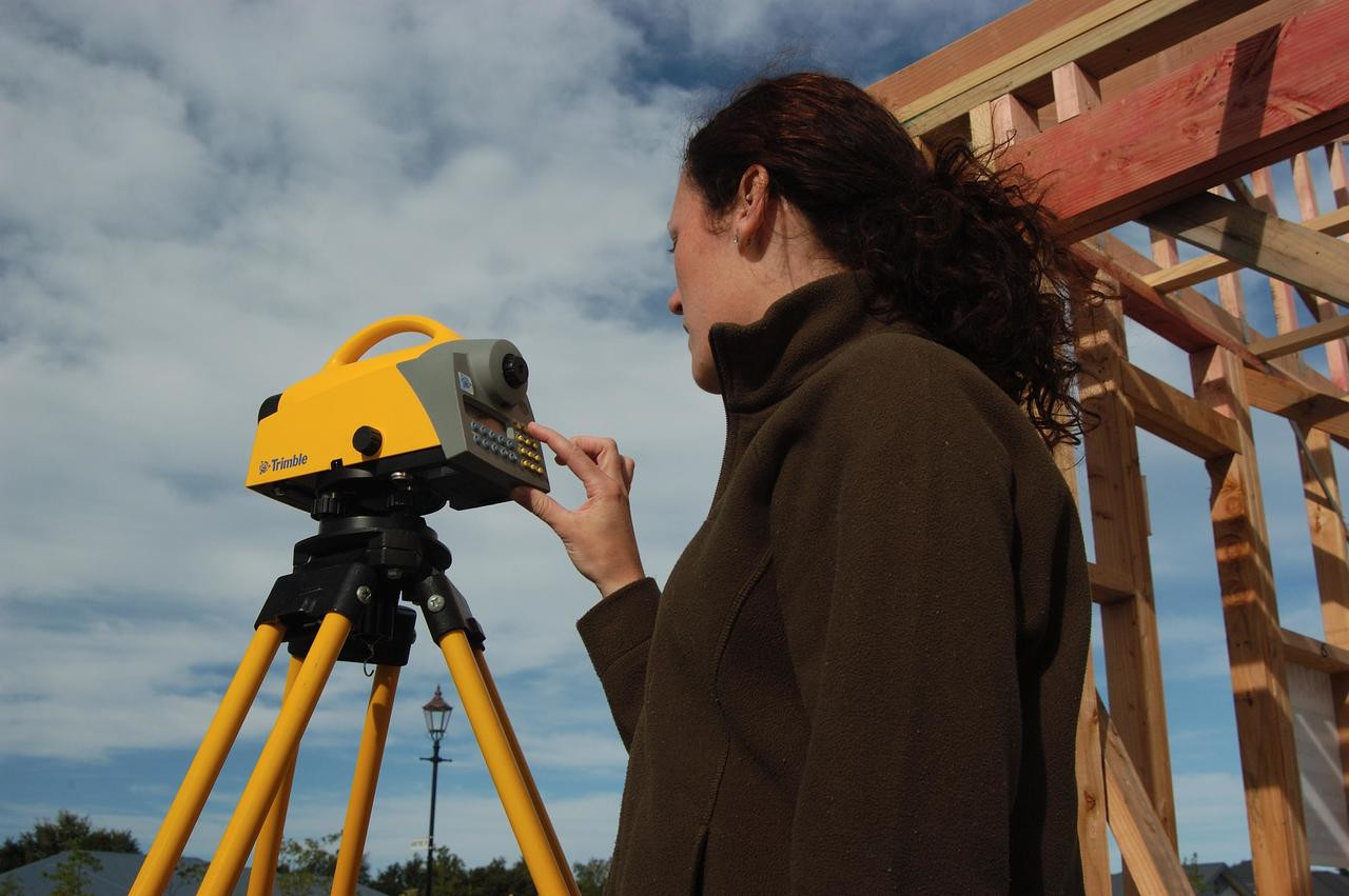
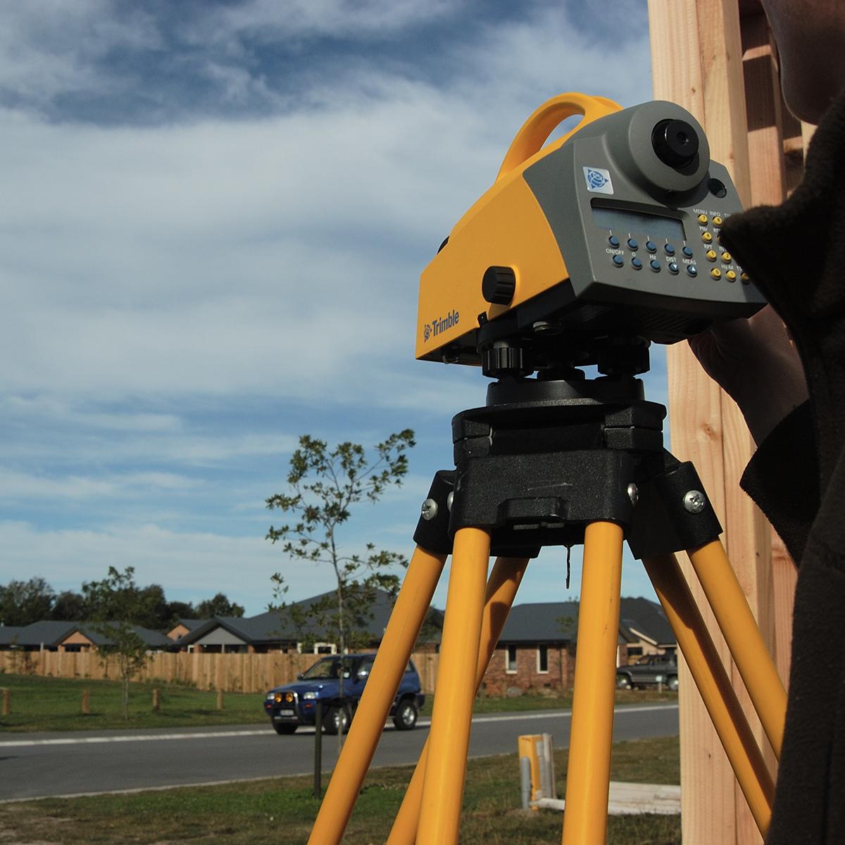
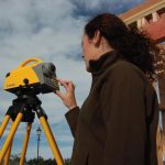
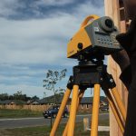
Trimble DiNi (singkatan dari Digital Nivel / Digital Level) adalah waterpass digital presisi tinggi dari Trimble yang digunakan untuk mengukur beda tinggi (elevasi) secara cepat dan akurat di lapangan. Alat ini menggantikan waterpass optik tradisional dengan pembacaan digital berbasis sensor, sehingga mengurangi kesalahan manusia dan mempercepat workflow survei.
SPECIFICATION
DOWNLOAD
Want to see more detailed specifications?
Download the full specifications PDF file via the link below.
General Questions
Trimble DiNi adalah waterpass digital presisi tinggi yang digunakan untuk pengukuran beda tinggi (elevasi) secara otomatis menggunakan sistem pembacaan barcode staff.
Tergantung tipe:
-
DiNi 0.3 → ±0.3 mm per 1 km double run (presisi tinggi)
-
DiNi 0.7 → ±0.7 mm per 1 km double run (konstruksi umum)
Ya. Varian DiNi 0.3 sangat cocok untuk leveling orde tinggi dan pekerjaan kontrol geodetik.
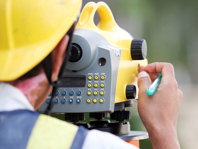
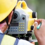
Ya. Trimble DiNi menggunakan barcode staff (invar staff) agar pembacaan bisa dilakukan secara otomatis dan presisi.
Umumnya mampu membaca pada jarak ±15 m hingga ±100 m tergantung kondisi cahaya dan tipe staff.
Bisa. Data hasil pengukuran dapat ditransfer melalui USB untuk diolah lebih lanjut di software kantor seperti Trimble Business Center.
Still unsure about choosing the right product?
Contact us today for a free consultation and the best solution.
Free Consultation