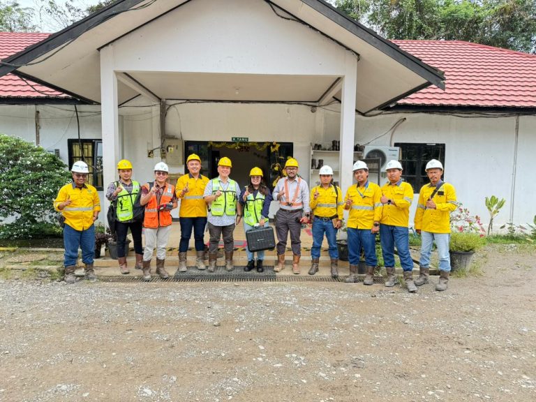
January 2026 — With the increasing need for efficiency and accuracy in mine management, Continuously Operating Reference Station (CORS) technology has become a vital infrastructure. Entering the first quarter of 2026, CORS implementation in the mining sector is now required to refer to SNI 7964:2022, the national standard that regulates the technical specifications for the development of this infrastructure to ensure high precision and data sustainability.
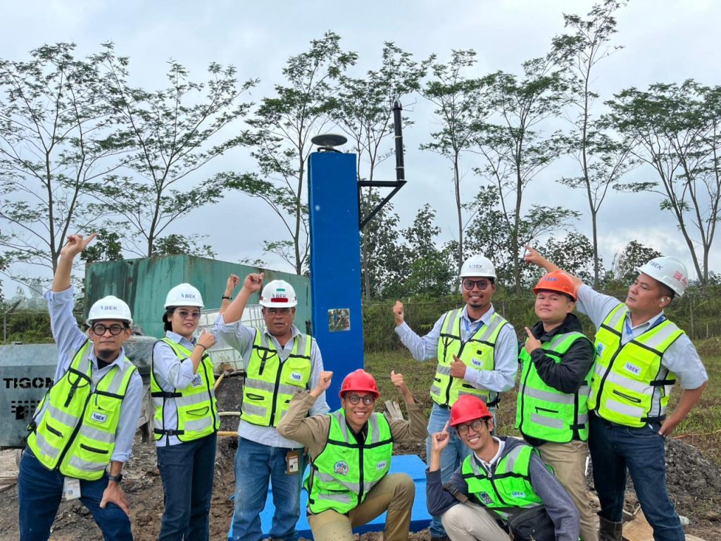
The construction of CORS in mining concession areas is not just about installing GNSS antennas, but rather a precise geodetic process to support survey activities, slope monitoring (PIT), and autonomous heavy equipment navigation.
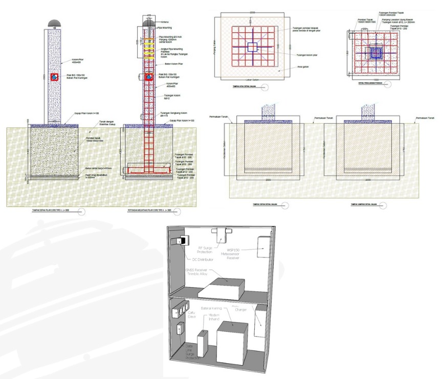
Implementation Based on SNI 7964:2022Based on the latest regulations, the construction of CORS in the mining segment must meet several main technical criteria:
Monument Stability: Considering the dynamics of the soil in the mining area, the monument must be built on stable rock (bedrock) or with reinforced concrete construction that goes deep into the ground to avoid local displacement effects.
Device Specifications: The use of multi-frequency and multi-constellation GNSS receivers (GPS, GLONASS, Galileo, BeiDou) has become a mandatory standard to ensure signal availability in mining areas which often have multipath challenges.
Data Connectivity: Data transmission must be stable using the NTRIP protocol to support Real-Time Kinematic (RTK) correction for the survey team in the field.
Integration with the Indonesian Geospatial Reference System (SRGI)
One crucial aspect of this development is integration with the SRGI. According to the Geospatial Information Agency (BPGI) Regulation, every coordinate generated within Indonesian jurisdiction must refer to a single reference.
By integrating the mine's CORS into the SRGI network, the company ensures that all mapping data—from both LiDAR drones and terrestrial surveys—is spatially consistent with national maps. This prevents overlapping concessions and simplifies reporting of Work Plans and Budgets (RKAB) to relevant ministries.
The Strategic Role of the Geospatial Information Agency (BIG)
To ensure that the infrastructure being built meets legal and technical standards, the construction process involves two crucial stages that are directly supervised by the Geospatial Information Agency (BIG):
Development Supervision: This is done from the site selection stage to ensure that the location is free from electromagnetic interference and has minimal obstruction.
Commissioning ActivitiesThis is the final functional test before the station is officially operational. A team of experts will validate data quality (SN Ratio, Multipath, Data Gaps) and ensure the station's coordinates are correctly tied to the National Geodetic Control Network.
The Importance of Standardization: Without commissioning and supervision from BIG, data from the CORS station cannot be accredited as official data in the national geospatial information system, which risks the legal validity of the mining mapping results.
Manfaat bagi Operasional Pertambangan
Di awal tahun 2026 ini, integrasi teknologi Drone LiDAR dengan koreksi dari stasiun CORS yang terstandarisasi memberikan lompatan produktivitas yang signifikan:
Precision Mapping: Horizontal and vertical position accuracy reaches sub-decimeter level (below 10 cm).
Monitoring Real-Time: Early detection of ground movement or potential landslides on mine walls continuously 24/7.
Cost Efficiency: Reduces the need for time-consuming and high-risk ground control point (GCP) installation in the field.
The construction of a CORS in accordance with SNI 7964:2022 is no longer just a technical choice, but a strategic investment for mining companies to achieve good mining governance (Good Mining Practice) and national integration.
Author Kholis Muhsin Lubis